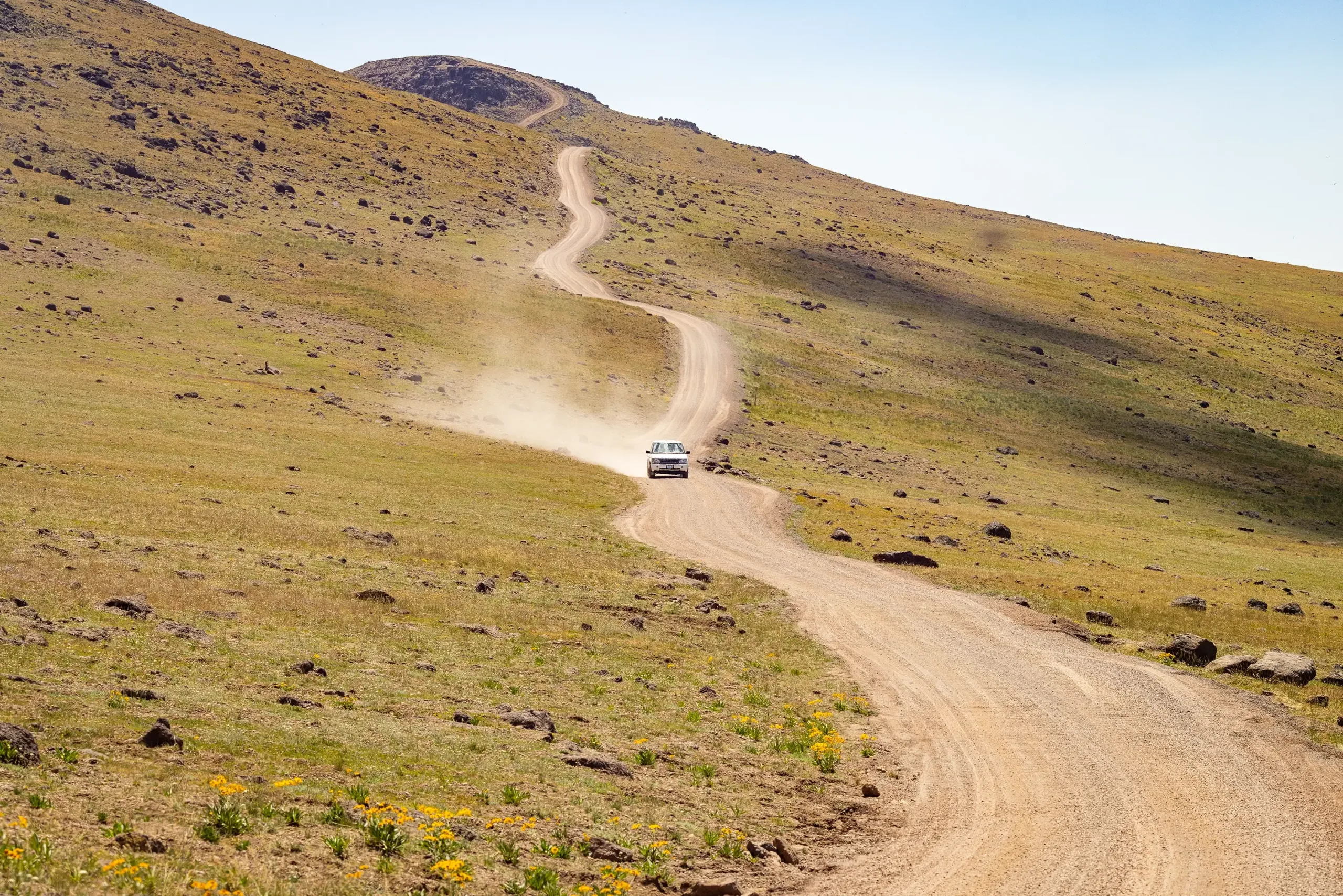
Getting here is half the experience. Harney County sits at the crossroads of Oregon’s most iconic high desert landscapes, and the routes that lead here are as striking as the destination itself. Whether you’re driving in from a nearby city or crossing state lines, give yourself time — fuel up, download your maps, and enjoy the ride.
From the South (Nevada/California)
From Reno, take US-395 north to Burns Junction, then follow OR-78 to Burns (approx. 5.5 hours). Expect long, quiet stretches with limited services between stops — top off your tank in McDermitt or Fields if you’re coming through the Oregon outback. This route offers access to the Diamond Loop Tour Route, a 69-mile scenic drive known for sweeping ranchlands, hot springs, and prime wildlife viewing near the Malheur Refuge.
From the East (Boise)
Take I-84 west to US-20, then head west through Vale and Juntura into Harney County (approx. 3.5 hours). This is a direct route with dramatic changes in scenery as you leave the Treasure Valley and enter the heart of Oregon’s high desert. Keep an eye out as you approach Burns — this corridor connects you with the start of the Steens Mountain Loop, one of Oregon’s most spectacular byways.
From the West (Bend / Portland)
From Bend, take US-20 east through Brothers and Riley to reach Burns (approx. 2.5 hours). This stretch of US-20 is part of the High Desert Discovery Scenic Byway, offering panoramic views, ancient lava fields, and wide-open solitude. There are few stops between Bend and Burns — plan to fuel up in town before heading out. From Portland, the drive is around 5–6 hours depending on your route, typically connecting through Bend.
From the West (Eugene / Willamette Valley)
Cross the Cascades via OR-126 or OR-58, then link up with US-20 east toward Burns (approx. 5 hours from Eugene). While not an official scenic byway, this route takes you from forested foothills into sagebrush country — a true transition from valley to desert. Fuel and services thin out east of Bend, so stock up before heading into the open range.
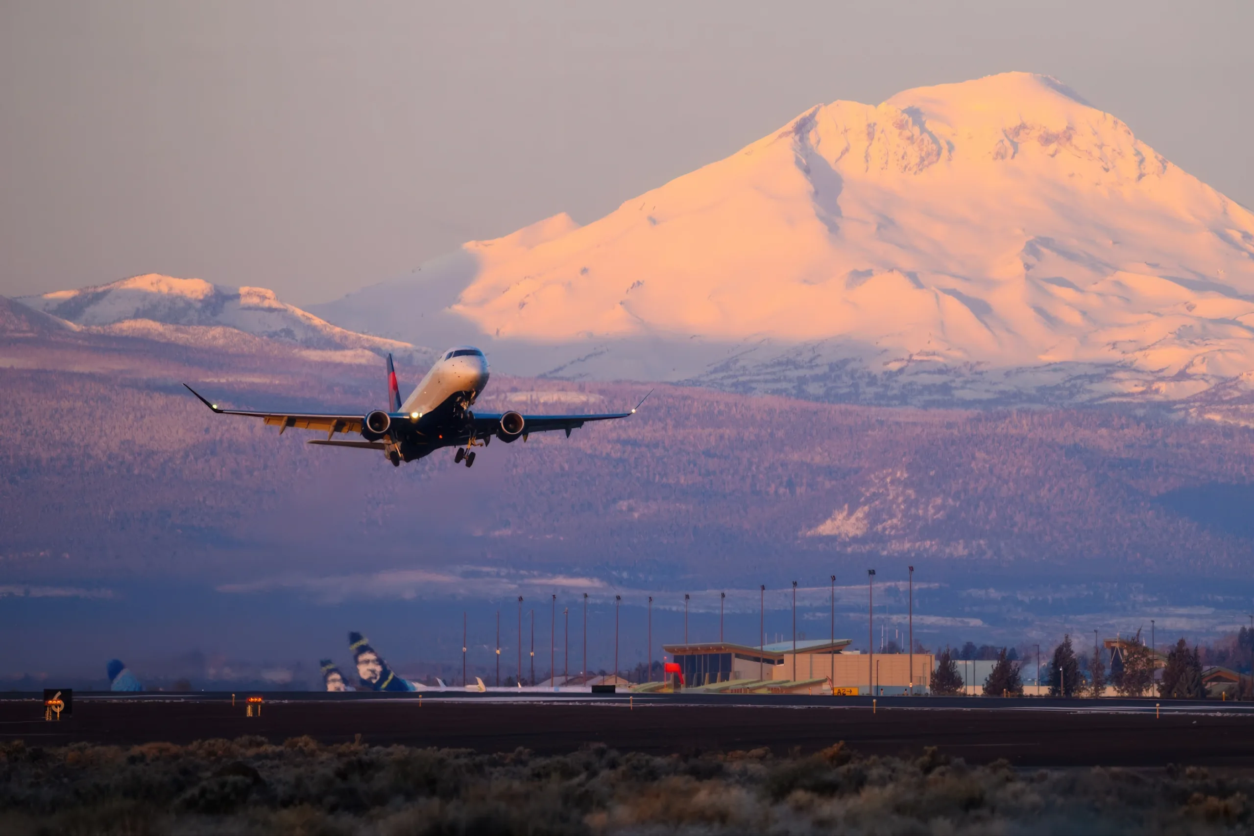
By Air
While there are no commercial airports within Harney County, flying close and driving the rest is a popular way to reach the high desert — and a great excuse for a scenic road trip.
Commercial Airports
Most visitors fly into one of the following regional hubs and rent a car to complete the journey:
Boise Airport (BOI): ~3.5 hours to Burns
Redmond Airport (RDM, near Bend): ~2.5 hours to Burns
Eugene Airport (EUG): ~5 hours to Burns
Portland International Airport (PDX): ~5.5–6 hours to Burns
Private Aircraft
For private or charter flights, Burns Municipal Airport (BNO) offers convenient access to the region. Located just a few miles from downtown Burns, the airport supports general aviation and includes services like fueling, tie-downs, and car rentals with advance notice.
Car Rentals
Car rentals available around regional hubs like Roberts Field, Boise Airport, Eugene Airport, Burns Municipal Airport, and Ontario Municipal Airport consist of: