


The Steens Mountain Loop Road is a 59-mile unpaved backcountry route that carries travelers through Oregon’s dramatic high desert terrain. Along the way, sagebrush ranchlands, glacier-carved gorges, and sweeping vistas offer a firsthand look at the range and scale of Harney County’s landscape.
The stretch of road that travels over Steens Mountain and looks toward the Alvord Desert reveals the surprising variety of terrain found in Harney County. Beginning in the open sagebrush near Frenchglen, the route climbs to alpine lakes and glacier-carved gorges before summiting Steens Mountain at nearly 10,000 feet. From the mountain’s escarpment, expansive views look over the Alvord Desert before the road descends through basalt rimrock to the broad basin below.
Part of the beauty of this route is its remoteness. Seasonal snow, rutted gravel roads and miles without cell service make the Steens Mountain Loop Road a true backcountry adventure–not just a scenic drive. As summer access begins to open across the higher sections of Steens Mountain, now is the time to start planning your trip.
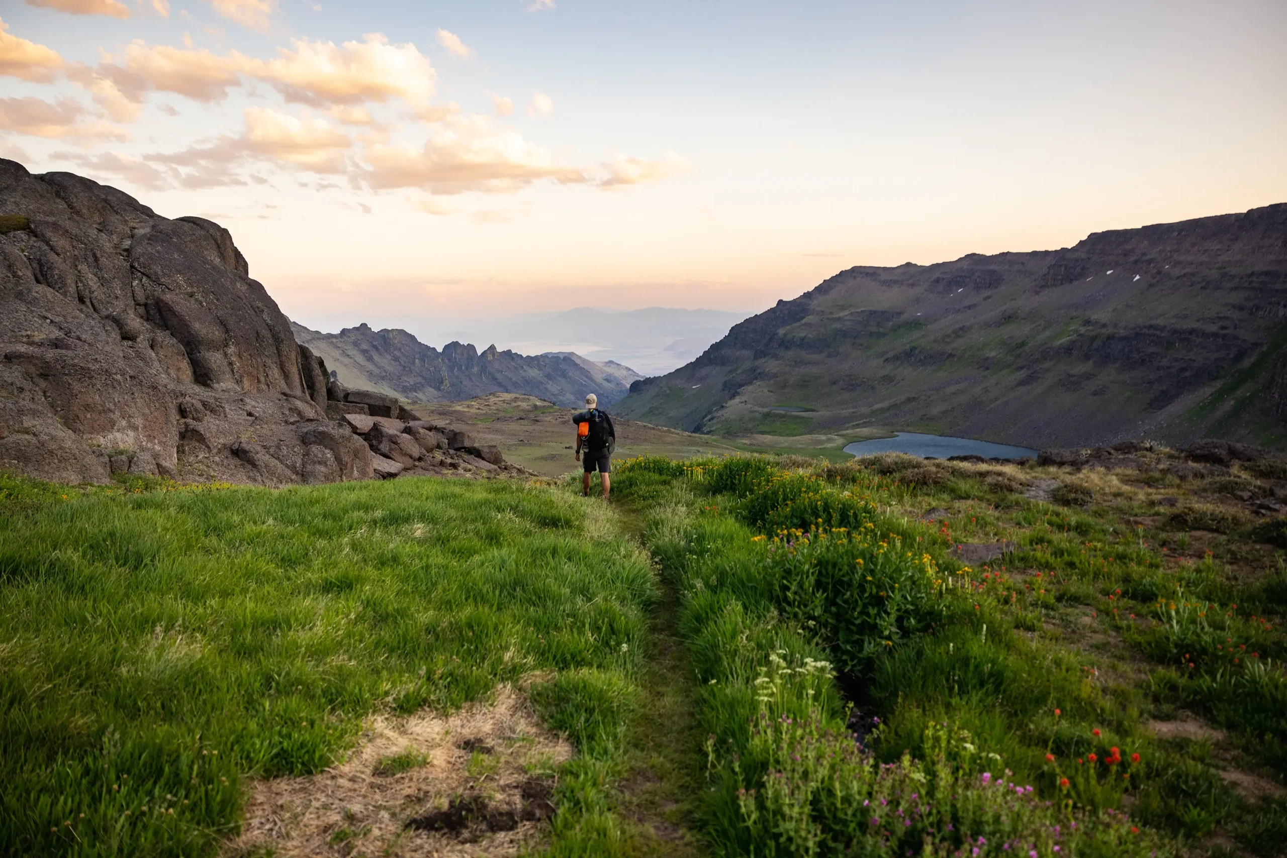
The Route at a Glance
Dreaming of a drive over Steens Mountain? Here’s a quick snapshot of the route.
Starting point: Frenchglen, with Burns serving as the main nearby hub for fuel, food, lodging, and supplies
Distance and Elevation: 59 miles, climbing from the lower slopes near Frenchglen to nearly 10,000 feet on Steens Mountain
Route type: Unpaved backcountry loop with gravel, steep grades, rocky stretches, side roads to viewpoints, and seasonal closures
Landscape: Sagebrush, ranchlands, river corridor, juniper and aspen pockets, alpine lakes, gorges, rimrock, and open desert basin
Ending point: State Highway 205, about 9 miles south of Frenchglen, with a short paved drive back to town
Best season: Summer through early fall, depending on snowpack and road conditions
Your Steens Mountain Loop Road Checklist
Before heading out, make sure you’re prepared for travel through backcountry terrain. This checklist is a good place to start.
✓ Fill up–Burns is the main hub for gas and supplies, and Frenchglen offers a convenient stop along the way with fuel and a small general store. Since services are limited once you're off the main loop, it's still a good idea to keep an eye on your tank and carry extra fuel for longer stretches.
✓ Pack water, snacks, and layers–Conditions can shift quickly in the high desert. Bring what you need to stay safe and comfortable.
✓ Ensure offline navigation–Cell service is limited or unavailable along much of the route, so pack a physical map or download directions.
✓ Prepare for gravel and rocky stretches–High-clearance or 4x4 vehicles are recommended. Make sure your tires are in good condition and confirm that you have a usable spare.
✓ Travel with care–Stay on designated roads, respect private land, give wildlife and livestock space.
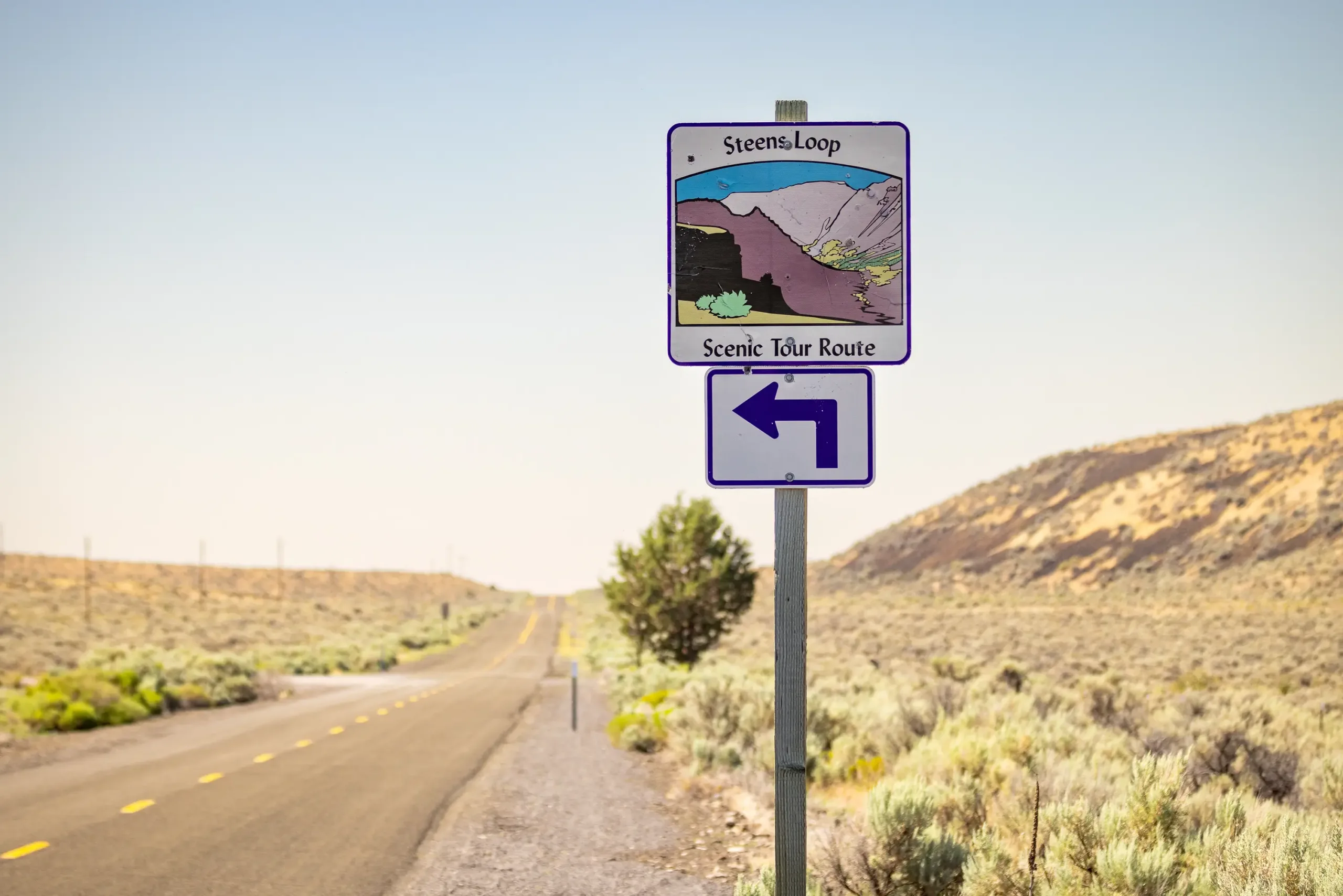
Drive the Steens Mountain Loop Road
Frenchglen to Page Springs | Miles 0-3
The route begins near Frenchglen, where Steens Mountain Loop Road heads east from the area near Frenchglen Hotel. This first stretch passes through sagebrush, ranchlands, and the Donner und Blitzen River corridor before reaching Page Springs Campground at the base of the mountain.
Pit Stop
Before you head out, take a moment in Frenchglen, a small community with its roots in Harney County’s ranching history. Frenchglen’s history is closely tied to Peter French, the “Cattle King” whose vast ranching operation shaped much of the surrounding valley.
Page Springs to Fish Lake | Miles 3-19
Beyond Page Springs Campground, the road leaves the river corridor and begins gaining elevation. Sagebrush and open range gradually give way to pockets of aspen and juniper groves as you near the higher-elevation terrain around Fish Lake.
Pit Stop
Fish Lake to Kiger Gorge | Miles 19-24
As the road climbs higher, the landscape shifts into cooler, more wooded terrain with mountain meadows and wide views before you reach the loop’s first signature overlook: Kiger Gorge. Its broad U-shape was carved over millennia by ancient glaciers that once moved down Steens Mountain.
Kiger Gorge to Steens Mountain Summit | Miles 24-27
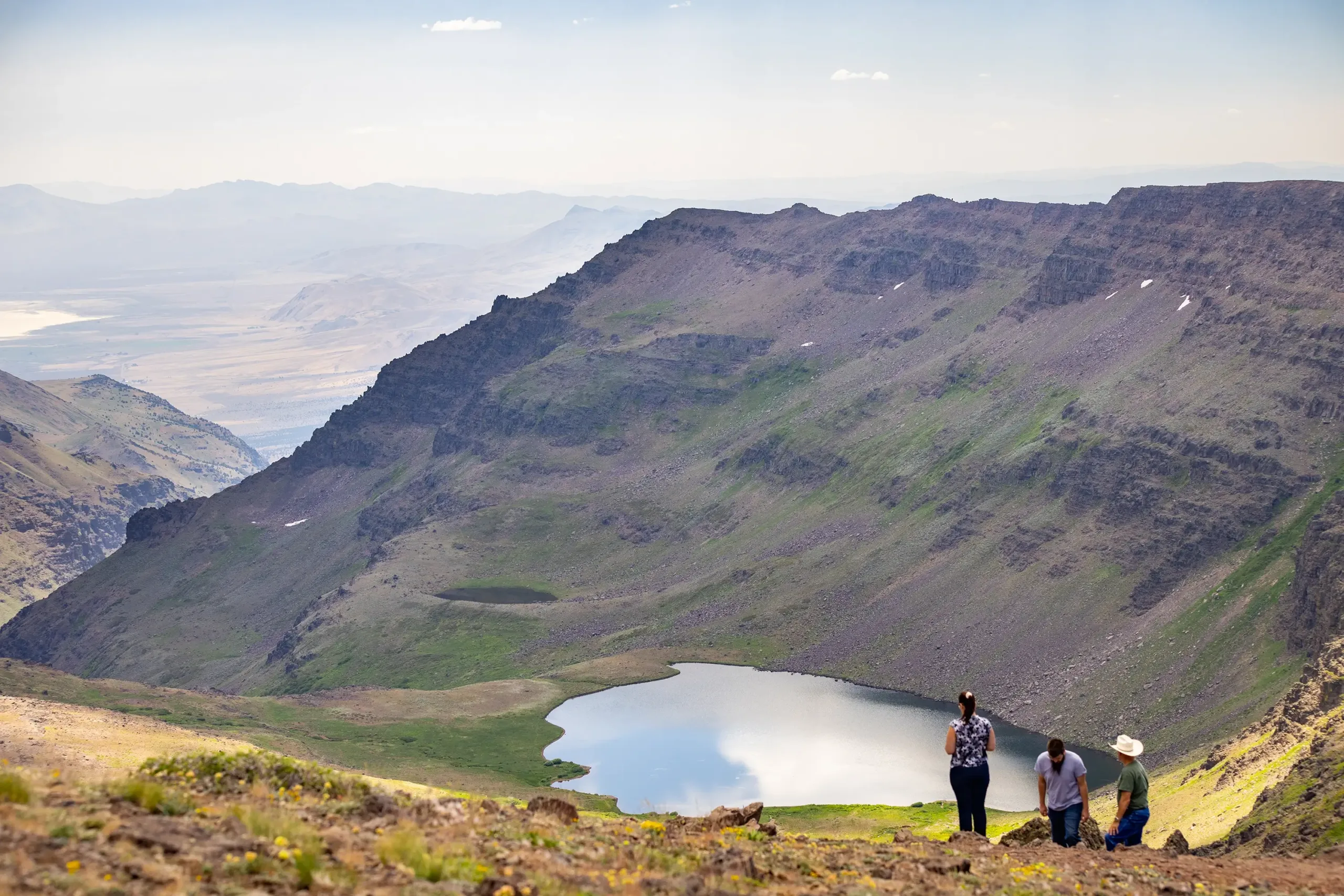
Climbing toward the summit at nearly 10,000 feet, the road enters one of the most exposed stretches of the loop. Trees thin, the skies stretch wide, and side roads lead to major viewpoints with sweeping views over the Alvord Desert and basin country far below.
Detour
Steens Mountain Summit to South Steens Descent | Miles 27-59
After the summit-area viewpoints, the route begins its long descent down the southern side of Steens Mountain, through basalt rimrock and craggy slopes. Enjoy sweeping views into Big Indian Gorge and Little Blitzen Gorge as the mountain drops toward the basin. Lower down, the landscape opens up before again crossing the Donner und Blitzen River.
Pit Stop
Watch for the wild horses that roam the South Steens landscape. You may spot them along open range or up on distant slopes. Bring binoculars so you can see them from a respectful distance.
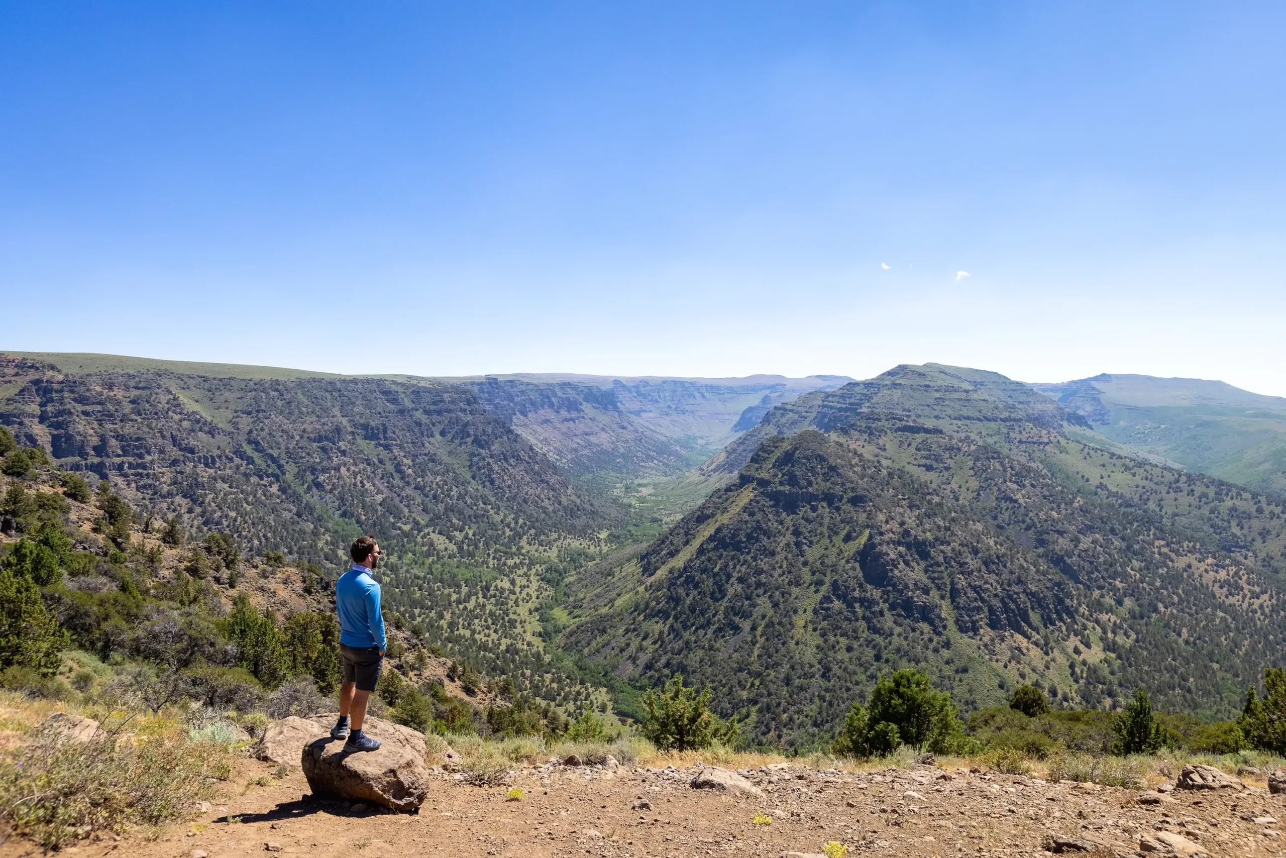
Plan Ahead, Leave Room for Wonder
With the right preparation, this route is one of the most memorable ways to explore Harney County. Check road conditions, allow plenty of time, and leave room for the quiet moments along the way.