
In Harney County, the high desert stretches across a variety of landscapes, from sagebrush steppe and lush wetlands to aspen-lined canyons and wide open playa. Hiking trails here offer everything from easy birdwatching walks to challenging backcountry treks. Choose your route and get ready for your Harney County adventure.
Wildlife & Wetlands
In the lowlands of the Harney Basin, water gathers into marshes, ponds, and winding rivers. These wetlands create a rich wildlife habitat in the high desert—and scenic, peaceful places to walk.
Benson Pond Trail
Distance: ~1 mile
Difficulty: Easy
Local Tip:
Bring binoculars and stop by the Visitor Center at Malheur National Wildlife Refuge for expert guidance on what animals are most active during your visit.
Blitzen River Trail
Distance: 3.6 miles out-and-back
Difficulty: Moderate
Following the Donner und Blitzen River, this trail winds through a canyon and along shady stretches of cottonwoods and willows. Along the way, layered rock formations rise above the river, and in late spring the canyon floor brightens with wild rose and lupine.
Sagebrush Steppe and Open Desert
Silver-green shrubs, wide skies, and mountain horizons showcase the expansive nature of the high desert. These wide-open lands are part of the ancestral homeland of the Northern Paiute and reflect Harney’s rich ranching heritage.
Frenchglen Warm Spring Trail
Distance: ~3 miles
Difficulty: Easy
An old ranch road winds through sagebrush steppe with wide views of Steens Mountain in the distance. About a mile in, you’ll pass the protected Frenchglen Warm Spring on your left. It may look tempting, but the spring is reserved for wildlife habitat—please admire it from the trail.
Local Tip:
Riddle Brothers Ranch Trail
Distance: 3.2 miles
Difficulty: Easy to Moderate
Local Tip:
Extend your adventure by following the Levi Brinkley Trail to the spot where the Donner und Blitzen River meets the Little Blitzen. This easy out-and-back will add about 3 miles to your hike–well worth it for the peaceful setting at the confluence of these waterways.
Rimrock and Juniper Woodlands
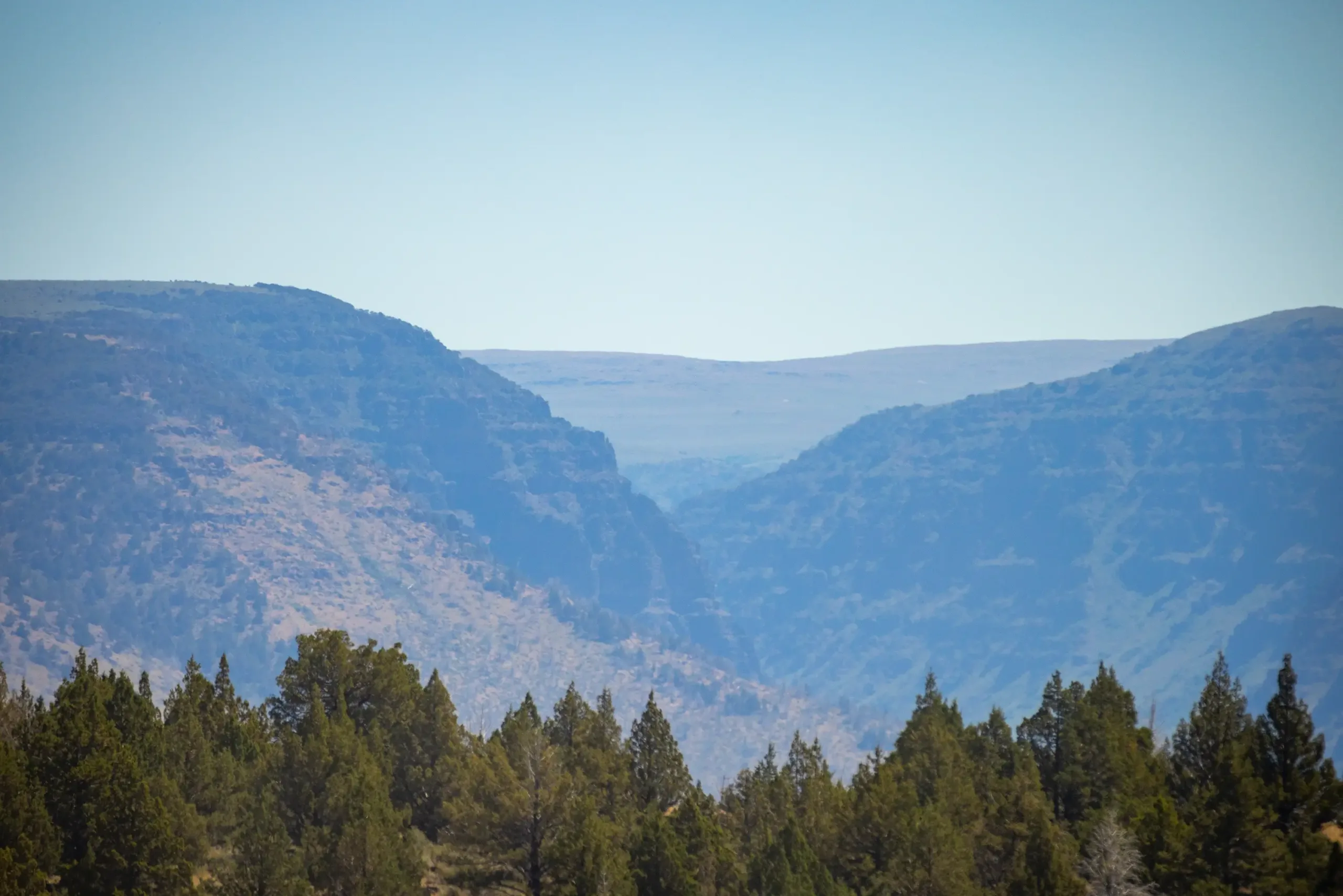
Higher on the slopes of Steens Mountain, the desert terrain begins to change. Juniper trees dot the hillsides and cliffs rise along the mountain’s edge, with sweeping views of the Harney Basin below.
Kiger Gorge Overlook
Distance: ~0.5–1 mile wandering
Difficulty: Easy
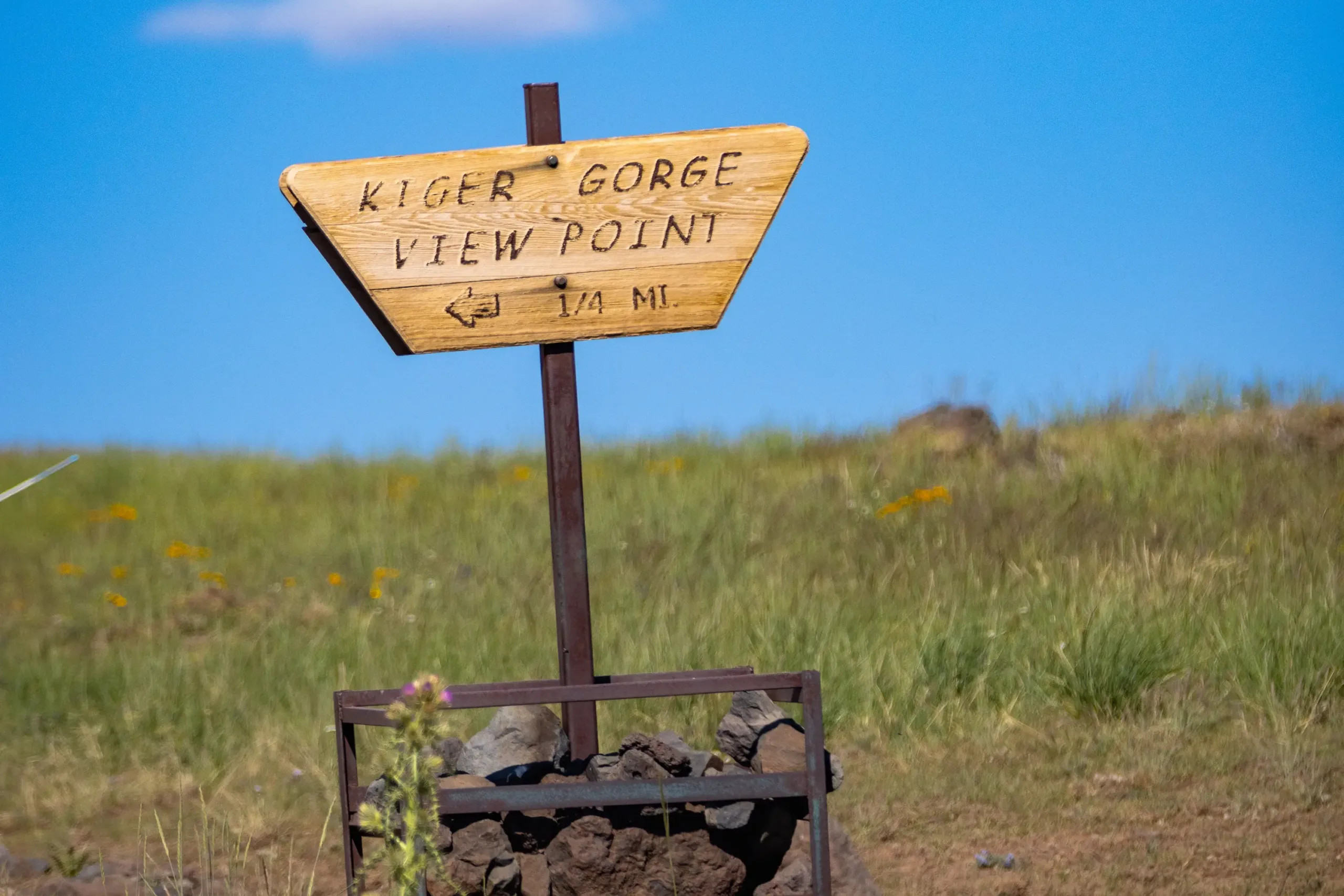
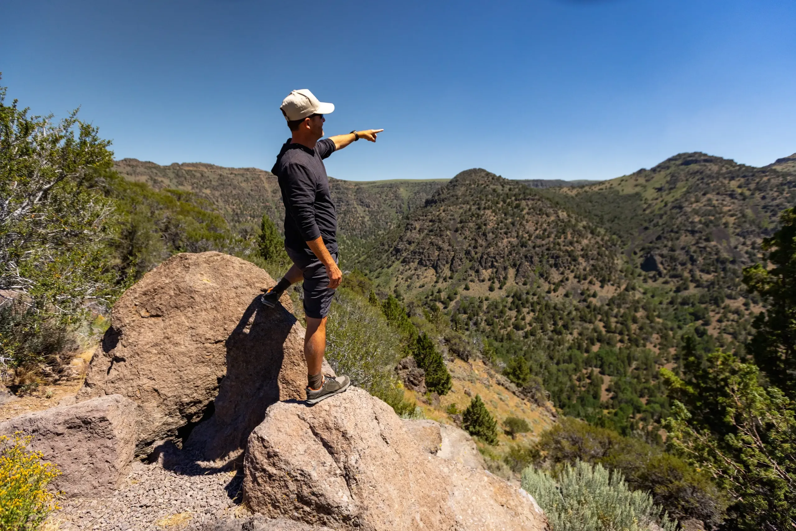
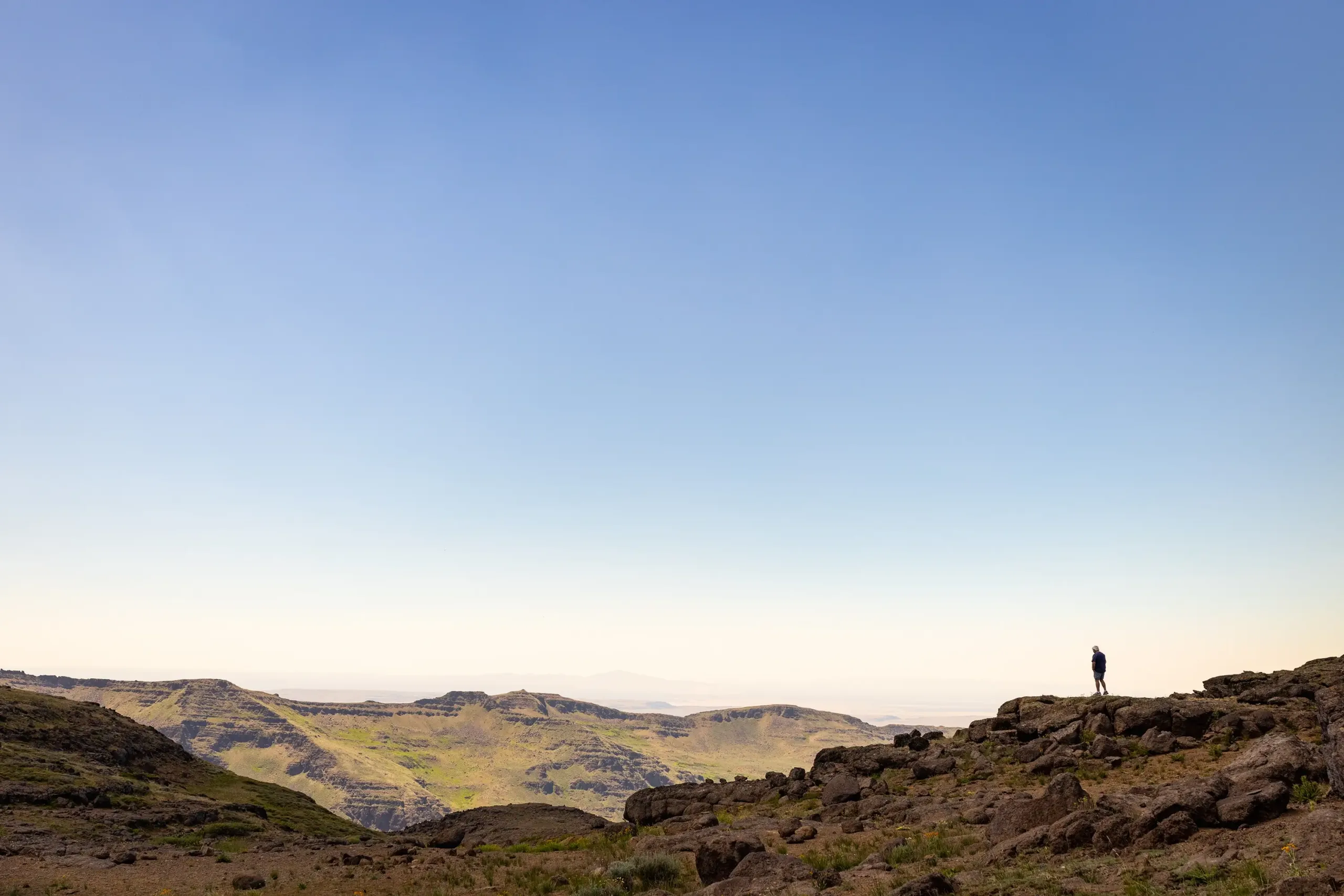
Located along the Steens Mountain Loop Road, Kiger Gorge Overlook offers one of the most iconic views in the region. Short paths near the overlook invite a bit of wandering along the rim of the gorge. Here, the land drops away into a massive canyon, with sagebrush plains stretching out far below.
Local Tip:
Wildhorse Lake Trail
Distance: ~2.4 miles round-trip
Difficulty: Moderate
Starting near the summit of Steens Mountain, this rewarding hike drops from the rim of Kiger Gorge to Wildhorse Lake in the basin below. The trail descends steadily through alpine grasses and rocky slopes as the deep-blue lake comes into view.
At the bottom, Wildhorse Lake sits beneath towering cliffs–a quiet, lush oasis within the high desert. The return hike offers sweeping views back toward the rim above, but be prepared for the climb to feel more challenging than the descent.
Steens Mountain Summit
Distance from Burns: ~2 hours
Length: ~1 mile
Difficulty: Moderate
A short, steep walk leads to the summit of Steens Mountain, where expansive views stretch across southeastern Oregon. From nearly 10,000 feet in elevation, look out over one of the most remote landscapes in the lower 48.
Local Tip:
Salt Flats and Volcanic Landscapes
In this part of Harney County, salt flats stretch for miles and volcanic features rise from the desert floor. Rather than following a formal trail, simply step into the landscape and take in its expansive solitude.
Diamond Craters
Distance: ~1–3 miles of exploration
Difficulty: Easy to Moderate
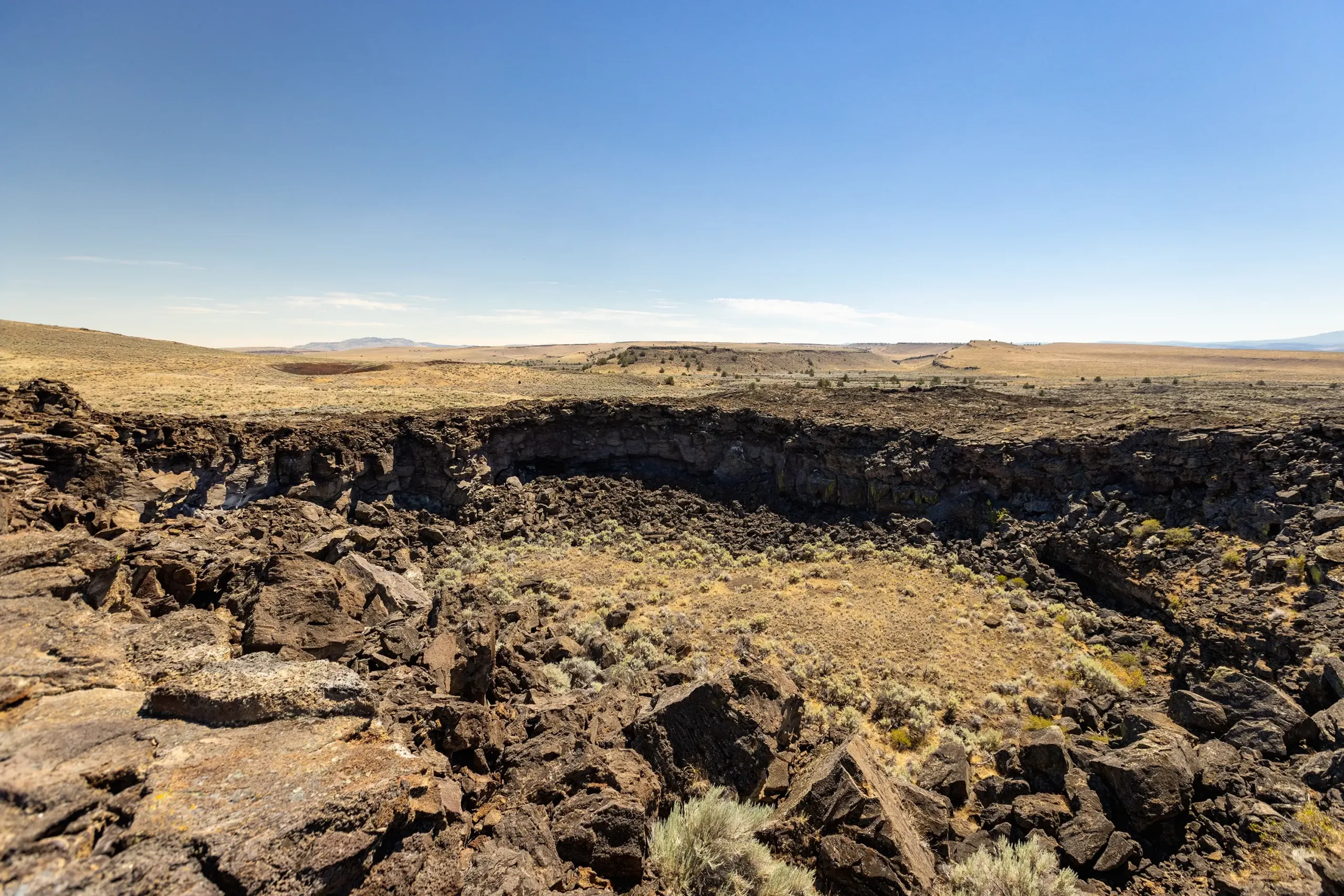
Diamond Craters is a unique volcanic landscape scattered with lava domes, collapsed craters, and unusual rock formations. Park at one of the pullouts along Diamond Crater Loop and wander through the open terrain.
Alvord Desert Playa
Distance: Varies
Difficulty: Easy
The Alvord Desert is a dry lakebed that stretches for miles along the eastern edge of Harney County. This vast, flat expanse is a salt playa formed by ancient lakes that evaporated, leaving behind mineral-rich deposits. Here, there is no defined trail–only a cracked, rugged landscape that stretches endlessly toward the horizon. Walk straight out onto the playa and take in the scale of the landscape.
Local Tip:
Aspen-Lined Gorges & Deep Wilderness
Carved by ancient glaciers, five U-shaped gorges form broad, steep-walled canyons along the slopes of Steens Mountain. These canyons hold creeks, aspen groves, and shaded trails–inviting a deeper experience of Harney County’s rugged terrain.
Big Indian Gorge Trail
Distance: Varies (up to 16 miles out-and-back)
Difficulty: Moderate to Strenuous
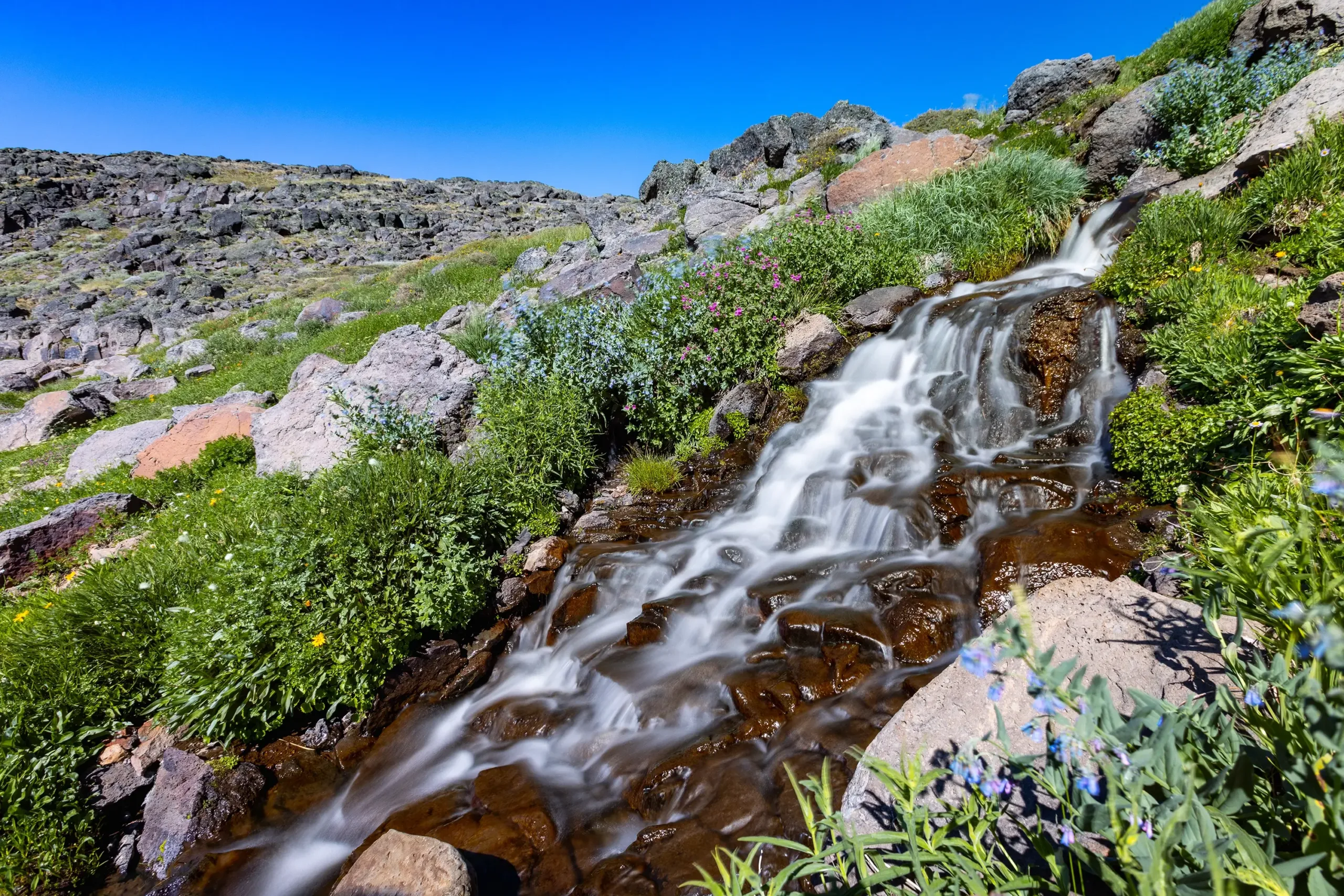
This scenic route follows Big Indian Creek through a wide gorge. Aspen and cottonwood groves offer shade, and seasonal wildflowers line the trail. As you continue deeper into the canyon, rock walls rise higher and the sense of solitude deepens.
A 16 mile out-and-back, this trail invites you to choose your own adventure: turn around after a few miles or continue deeper into the gorge for a full day of exploring.
Local Tip:
There are several creek crossings in the gorge, so come prepared to get your feet wet.
Wildhorse Lake Trail
Distance: ~2.4 miles round-trip
Difficulty: Moderate
Tucked into a narrow canyon, this route stays close to the Little Blitzen River, where dark, layered basalt walls rise above dense vegetation. Along the way are waterfalls, small cascades, and a swimming hole beneath the branches of aspen trees. Like Big Indian Gorge, this hike offers an immersive wilderness experience, where distance, terrain, and solitude are part of the reward.
Local Tip: